
Editor’s note: inspired by Patrick Sherman’s “Night Flight” feature in our October/November issue, Andrew offered his personal test questions that he created for his own FAA...

The use of drones by firefighters and law enforcement gets most of the attention regarding public sector applications for this technology, but there are plenty of...

The drone market has experienced strong growth in recent years. As both hobbyist and professional users alike take great interest in exploring the capabilities these devices...
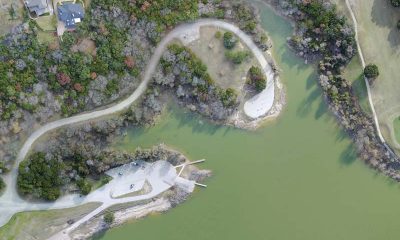

Aerial maps can be created from a collection of aerial photos that are stitched together with computer software. A batch of overlapping, vertical aerial photos is...


Unmanned aircraft vehicles (UAV) or more commonly, drones, are a quickly-emerging technology that has enormous potential to spark a revolution, or at the very least increase...
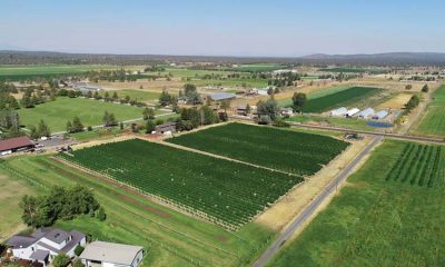

Drones are often touted for their ability to benefit farmers through precision agriculture, but solving real-world problems requires a more carefully considered approach—and spinning propellers only...


I’ve been interested in aerial photography for as long as I can remember. I’m amazed how a mundane subject takes on an entirely different look when...
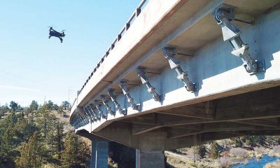

Pilot Report To any person who has ever uttered the phrase, “Those who can’t do, teach,” I’d like to extend an invitation: spend a day on...


Believe me when I tell you that color correction is not as difficult as you might think. In the August/September issue, we started our discussion on...


Taking photos from dizzying heights doesn’t necessarily mean that they will be interesting or effective. Once you’ve located yourself on a high altitude with a drone,...