Back
Intro to Aerial Mapping – Tools that make maximize your bird’s-eye-view

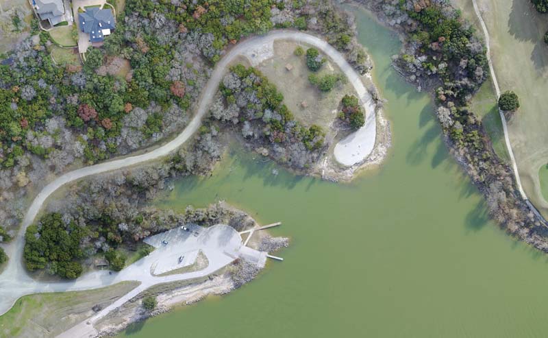
Aerial maps can be created from a collection of aerial photos that are stitched together with computer software. A batch of overlapping, vertical aerial photos is processed and referenced with their GPS position. The processed aerial maps are used in many industries such as agriculture, emergency response, construction, mining, and environmental monitoring. When they’re made at regular intervals, aerial maps can document changes to a specific area in a process known as “change detection.” Multiple...
PARDON THE INTERRUPTION
Purchase Options
Publication Archives channel

Every digital replica of the industries leading publication RotorDrone Pro magazine starting 90 days since the last issue going back several decades. Beautifully rendered in a magazine style experience. You can search across all titles or just within an issue. Issues become available 90 days after publication.

