Introduction to Multispectral Imaging: How this new technology is revolutionizing data collection
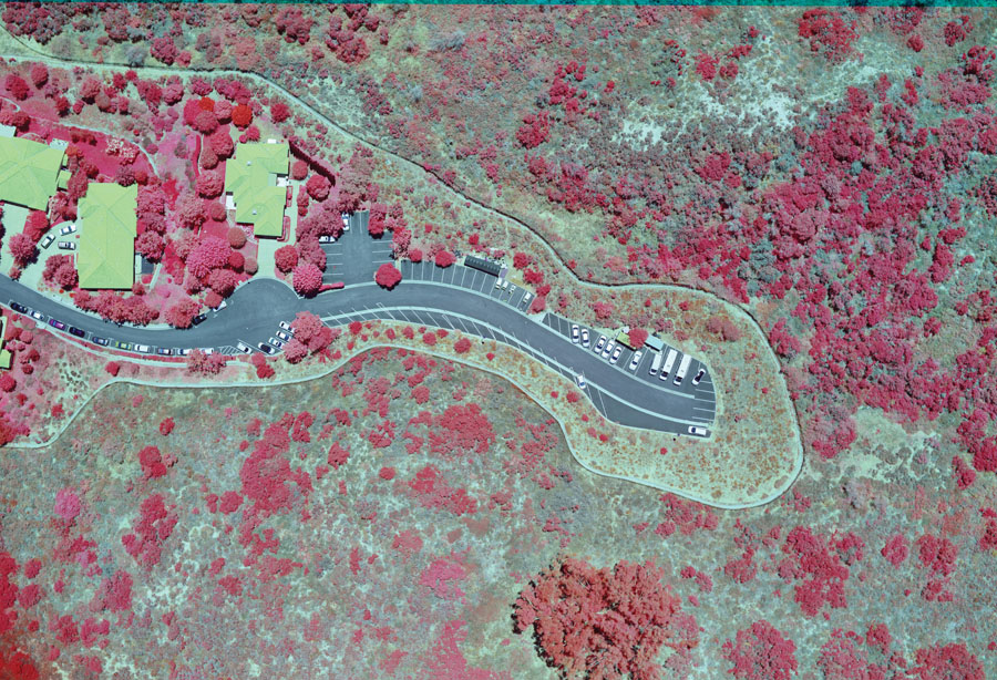
Originally developed for military target identification and reconnaissance, multispectral imaging uses specific wavelengths of the electromagnetic spectrum to document environmental features of interest. Early NASA imaging of Earth from space incorporated multispectral imaging technology to map details related to oceans, landforms, and vegetation. More recently, modern weather satellites now produce diagnostic imagery using multispectral sensors. Today, multispectral imaging is used by the U.S. military to detect landmines and underground missiles. By analyzing disturbed soil features with...
PARDON THE INTERRUPTION
Purchase Options